Happy Friday and nice to be back. Got a few days off and got away for a bit. It was nice to do that and now that I’m back it’s nice to be able to talk about the weather again. While I was gone I was sort of keeping track of what was going on around here and it was fascinating to follow the remnants of Cristobal moving through the state of MO.
Rain from that ended up staying mostly east of here but the unusual playout of the system with the 2nd system moving in on Tuesday with that fleeting threat of severe weather was interesting and more interesting were the winds that the ended up occurring in Wednesday. It’s highly unusual to have those types of winds from that direction in June.
The good thing about that was it hs pushed all the substantial humidity and dew points well south of the area and it’s going to take awhile before that real thick air returns.
______________________________________________________________________
Forecast:
Today: Mostly sunny and warm with high into the upper 80s
Tonight: Fair and pleasant with lows in the 60s
This weekend: A it warmer with highs in the upper 80s to lower 90s and lows in the 60s
______________________________________________________________________
Discussion:
Our weather is actually settling down into summer and will remain pretty undramatic into next week it appears. No big rain chances showing up for awhile…a slowly moistening air mass which will bring the dew points up gradually and a slow baking out of the moisture in the soil.
This will be OK for about 7-10 days or so…you’re going to want to start dragging the sprinkler around though pretty soon. Since most areas missed the rain on Tuesday (of any significance) we’re now going on a couple of weeks of somewhat dry weather locally.
Take a look at the 14 days of rain anomalies…
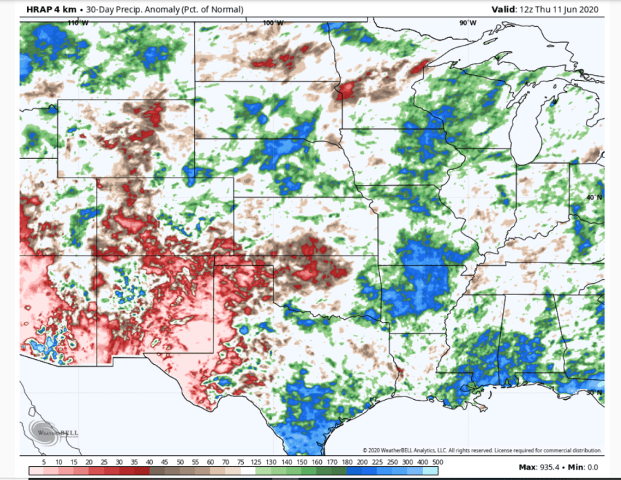
There is a localized area right on top of KC of dryness. There is also an expanding area through the southern Plains region into west Texas.
Drought is expanding through the western Plains this week and will do so into next week as well. For us were going to be going through a dry spell.
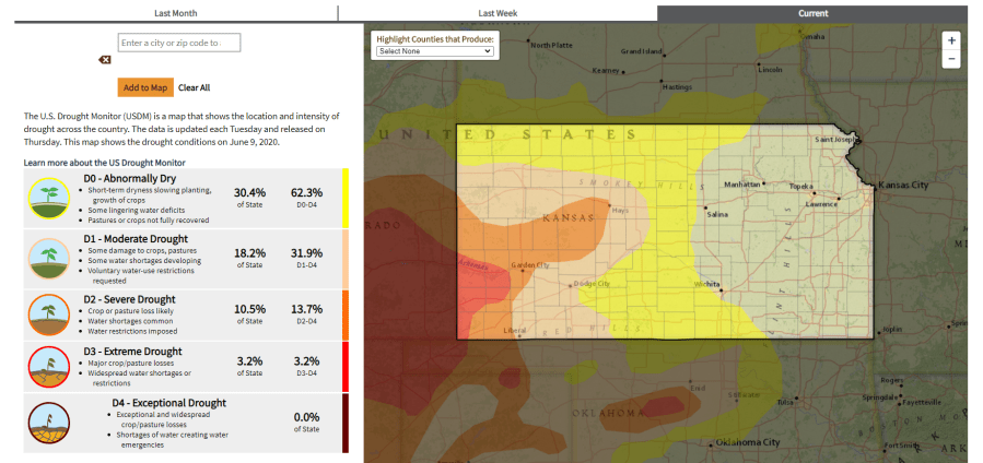
We’re in pretty good shape on the MO side for now.
Over the next 7 days or more…this is the rain forecast off the EURO model.

The GFS may have something in about a week or so.
It does appear however that this won’t lock in…the dryness based on the current forecast. Sometime towards next weekend or the following week…the week of the 22nd it may get wetter again and we’ll need the rain for sure for the grass at least.
In reality the big storm that came through the region a few days away essentially drove the significant moisture towards the south of the region.
Dew points are near 60° which isn’t too bad for early summer…and the air has more or less dried out all the way towards the Gulf Coast.
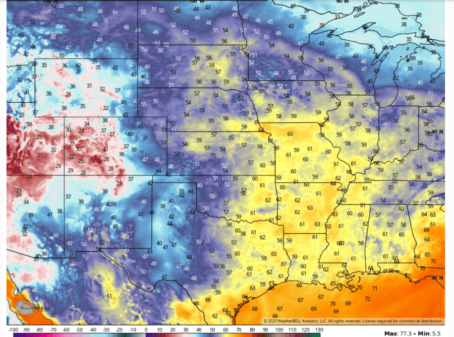
Folks in LA and SE TX will tell you that if you have near 60° dew points during this time of the year…that’s a good thing for our heat index situation.
We’ll have the hotter temperatures…88-95° or so for quite some time but overall the heat index may remain below 100° for awhile it appears.
So that combination of a “somewhat” drier heat and a ton of sunshine, plus some extra wind developing next week means that the moisture in the top soil will be evaporating away rather quickly and also remember with summer starting in the next 10 days…the sun’s angle will be at it’s highest pretty soon. That’s why you’re going to want to run the sprinklers I think.
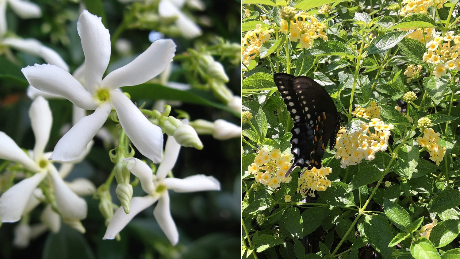
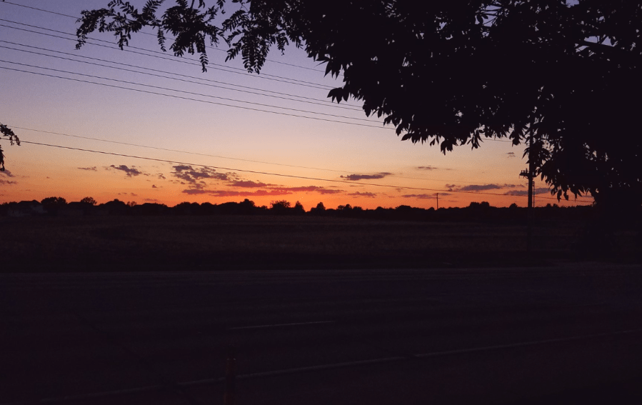
Our feature photo comes from @BlueSpringsWeather via twitter.
Joe